2 min read • Updated
Planning a Mustang motorcycle trip from Pokhara
We won't give exact distances or timings here — conditions change, and you should confirm them locally before departure. What follows is how to structure the planning, based on what we talk through with riders at the shop.
The shape of the route
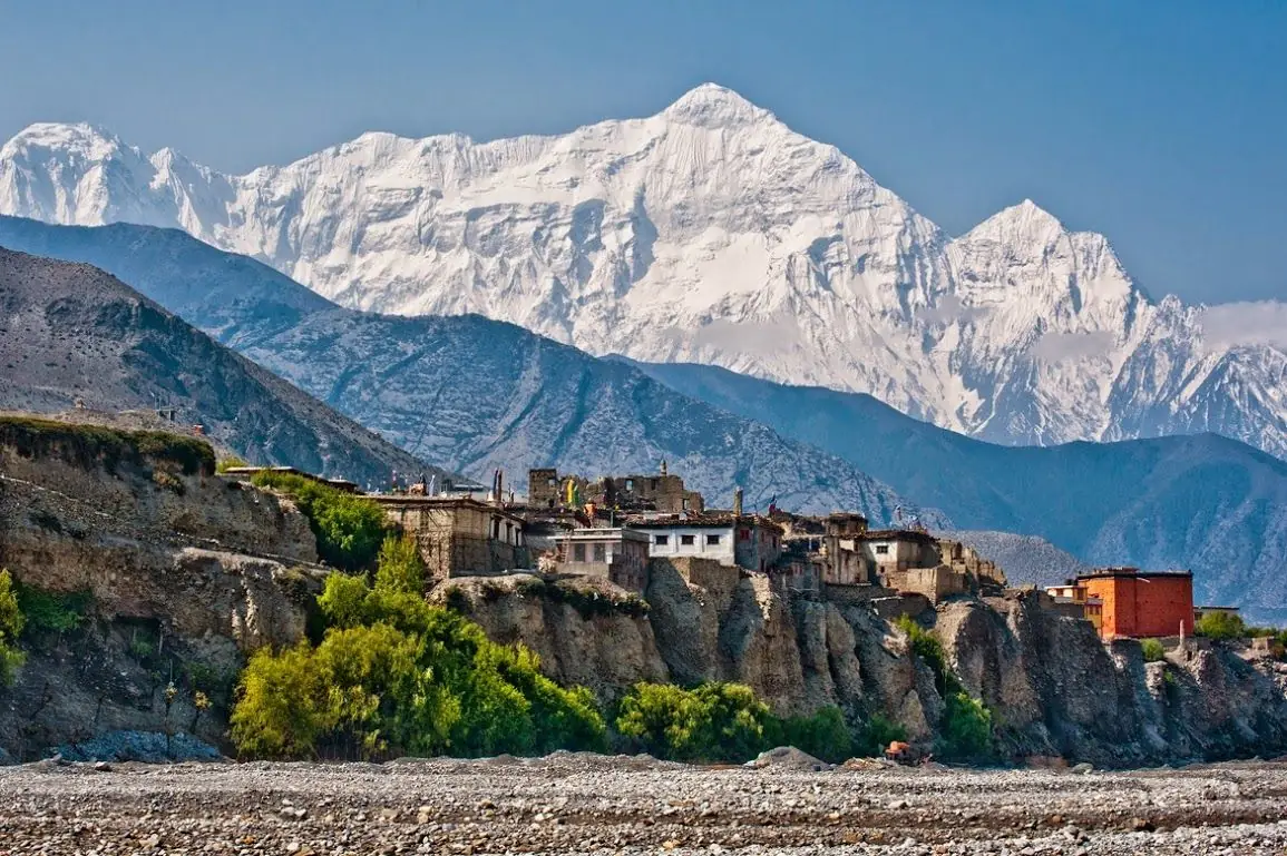
From Pokhara the road runs to Beni, then up the Kali Gandaki valley to Jomsom, the gateway to Mustang. From there most riders continue to Kagbeni and Muktinath. Upper Mustang, beyond Kagbeni towards Lo Manthang, is a restricted area with its own permit rules.
Plan in days, not hours
Weather, road works and altitude all slow you down. Build spare days into the plan and you will enjoy the trip more.
Respect the altitude
Jomsom, and especially Muktinath, are far higher than Pokhara. Gain height gradually, drink plenty of water, and descend if you feel unwell.
Season and weather
Spring and autumn usually bring the most settled conditions. In the monsoon, landslides on the road below Jomsom are more frequent, and in winter the higher sections can be cold and icy.
Fuel and food are not continuous
Fill up when you can rather than when you need to, and carry water and something to eat.
Confirm requirements before you leave
Permits, route access and current road conditions should be confirmed with the relevant local authority close to your departure date. Ask us and we will point you to who to check with.
Pack for cold, wind and dust
- Warm, windproof layers.
- Gloves.
- Eye protection and a face covering for dust.
- Rain gear.
- Water and snacks.
Written by Utsab Adhikari of RideUp Rentals, Hallanchowk, Pokhara.